Blair-Preston Pedestrian Trail Bridge and Trail:
Environmental Assessment (EA)
Share Blair-Preston Pedestrian Trail Bridge and Trail:
Environmental Assessment (EA) on FacebookShare Blair-Preston Pedestrian Trail Bridge and Trail:
Environmental Assessment (EA) on TwitterShare Blair-Preston Pedestrian Trail Bridge and Trail:
Environmental Assessment (EA) on LinkedinEmail Blair-Preston Pedestrian Trail Bridge and Trail:
Environmental Assessment (EA) link
Consultation has concluded
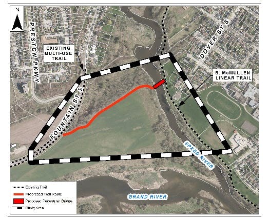
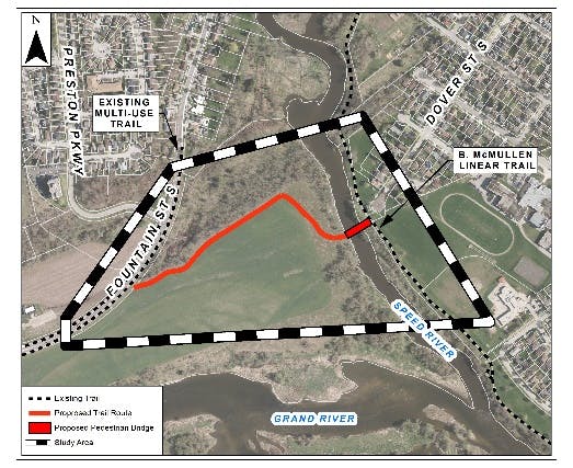
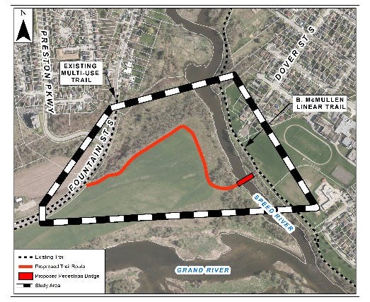
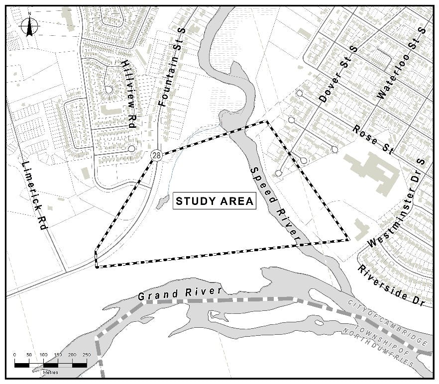
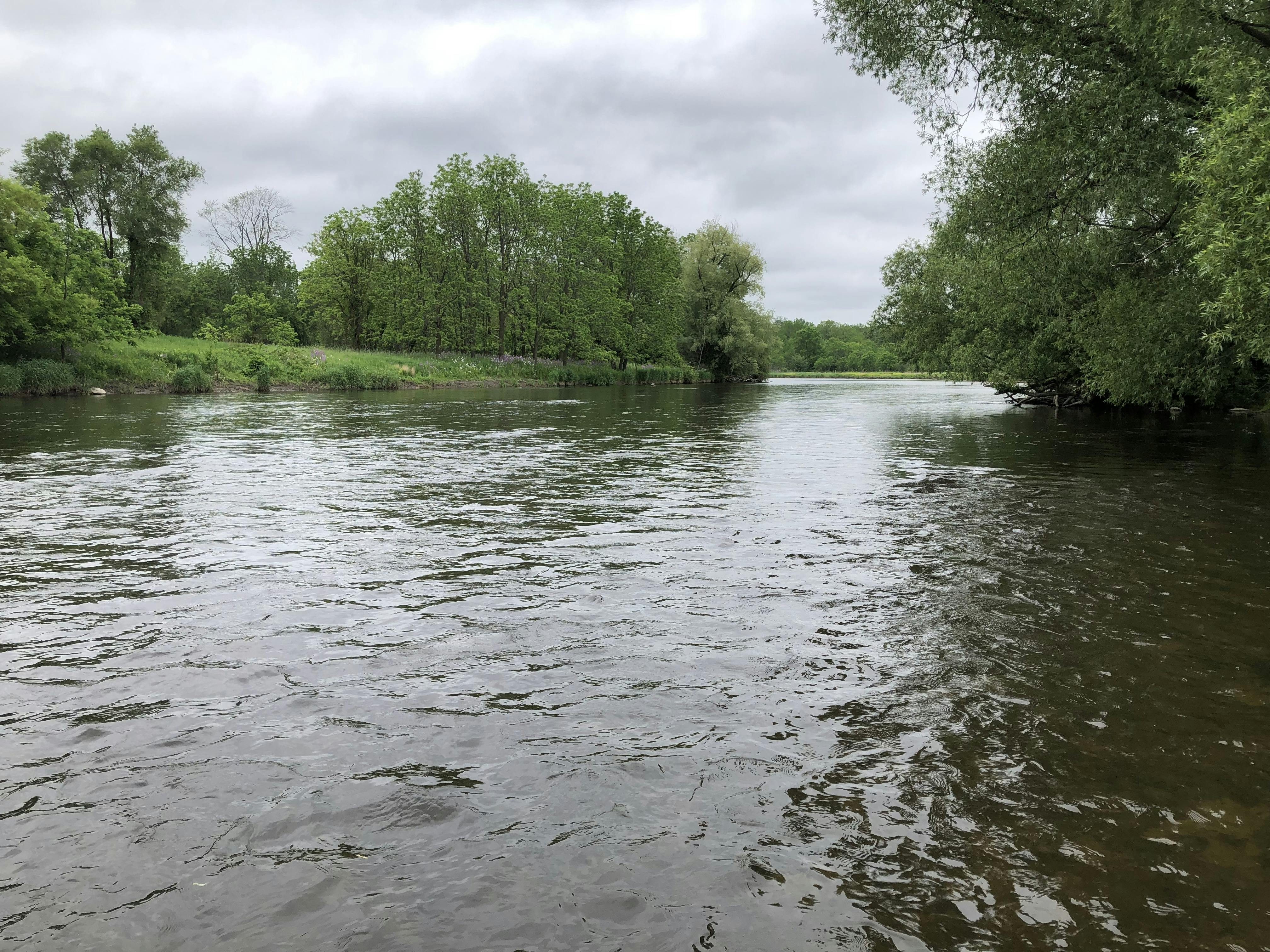
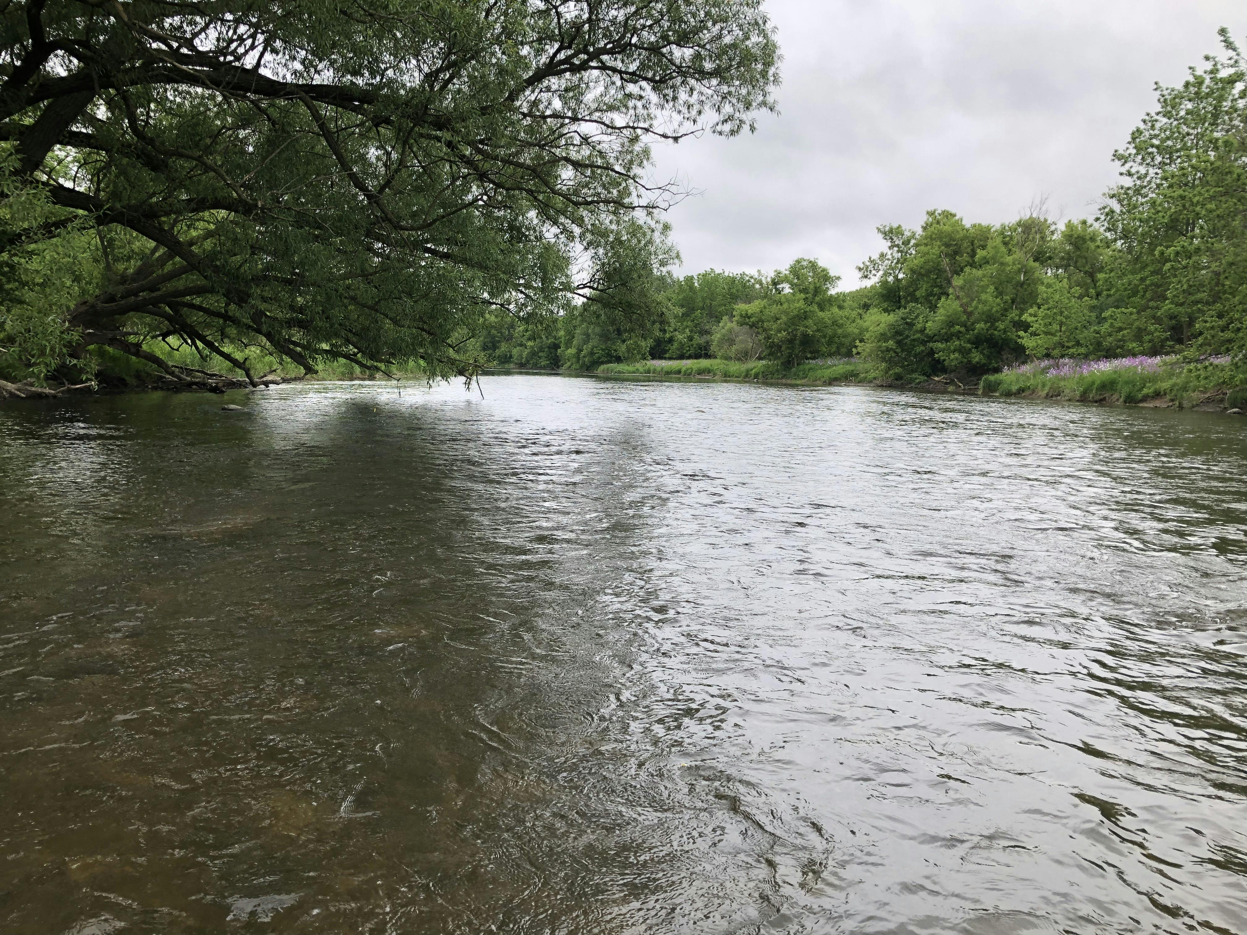
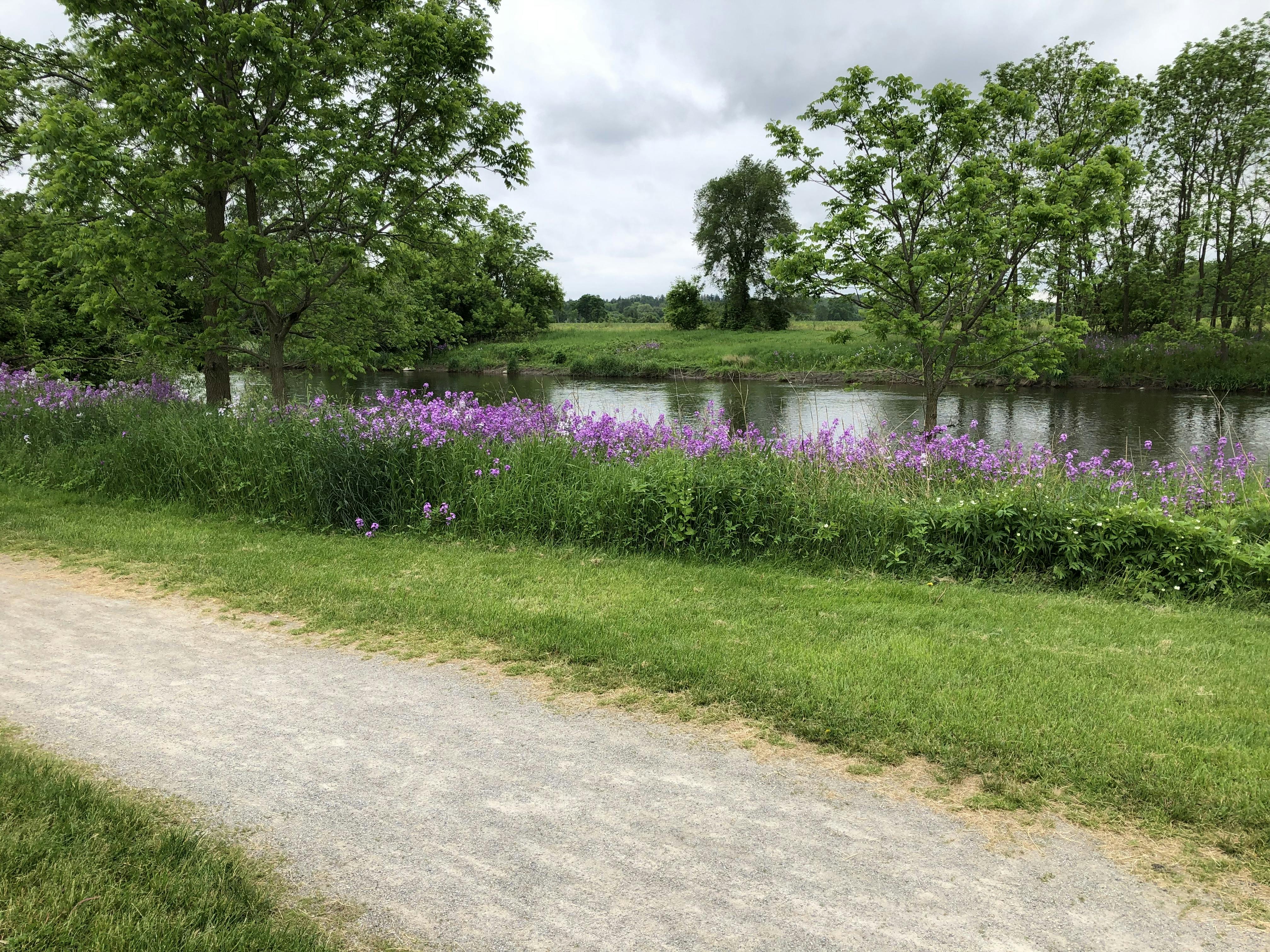
The City of Cambridge and the Region of Waterloo are undertaking a Municipal Class Environmental Assessment to study a future pedestrian bridge and trail to connect the communities of Blair and Preston. Routes are being considered through lands owned by the rare Charitable Research Reserve.
The new off-road link will connect the B. McMullen Linear Trail to the existing multi-use trail on Fountain Street via a bridge over the Speed River. The bridge and trail will provide a major off-road connection to downtown Preston as well as a connection to the 401 pedestrian bridge linking Kitchener and the Doon area.
The need for an off-road route through this area was identified in the City of Cambridge’s Trails Master Plan (2010) and Cycling Master Plan (2020) and the Region of Waterloo’s Active Transportation Master Plan (2014).
The approximate extent of the Study Area is shown on the map below.
Consultation is important to this Study. The City invites public input and will consider all opinions as part of the decisions that are made. Please take a few minutes to fill out the survey below.
Thank you for participating in the development of a trail and pedestrian bridge spanning the Speed River. The City of Cambridge is undertaking this study to consider several routing alternatives for the trail and bridge that will connect the communities of Blair and Preston and support active transportation in the community.
Public input is an important component of the decision-making process. Please assist the Study Team by providing your input through this brief survey.
Consultation has concluded
Share Blair-Preston Survey on FacebookShare Blair-Preston Survey on TwitterShare Blair-Preston Survey on LinkedinEmail Blair-Preston Survey link