Union Street East reconstruction
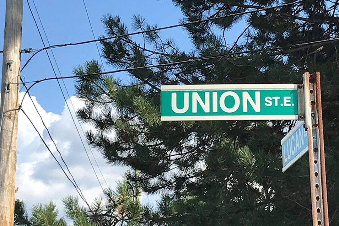
Welcome to the project page for the planned reconstruction of Union Street East between King Street South and Moore Avenue South. The city intends to completely reconstruct this section of Union to replace the aged watermain, sewers, and road structure (i.e. sidewalk, curbs and asphalt). This will also include the replacement of water and sanitary service laterals up to the common property line. In accordance with the Council approved Transportation Master Plan, separated bike lanes are planned. Additionally, to improve safety where the Spurline Trail crosses Union, a secondary crossing is planned that allows trail users to cross using the signal lights at Union and Moore.
Project updates will be posted in the News feed. and the current progress of the project is noted in the Project Timeline. The page will also be open to public comments for limited time periods, typically following the release of design information. Please check back often or sign up to follow the project to receive email updates.
Commonly asked questions
Please ask us your questions about the design alternatives, and we will provide answers as soon as we can. Please try to keep your questions as short as possible, and focused on the alternative presented. (This project will include an opportunity to ask questions about the actual construction process in the future, once the final design has been selected).


Project Team
-
-
PR
Phone 519-576-2150 x426 Email prodrigues@walterfedy.com