
The Cycling and Trails Master Plan
Consultation has concluded.
On October 26, 2020, Council approved the City’s Cycling and Trails Master Plan, a long-term strategy for connecting Kitchener’s trails and cycling facilities into a city-wide network. The plan was committed to in Kitchener’s 2019-2022 Strategic Plan after public consultation consistently showed that people-friendly transportation options were a top priority for the community. The plan was developed by a team led by an external consulting team who are also working with other local municipalities. A resident-led advisory committee also met over the past 18 months to provide input to shape the final plan. More than 3,000 residents provided feedback during the development of the plan.
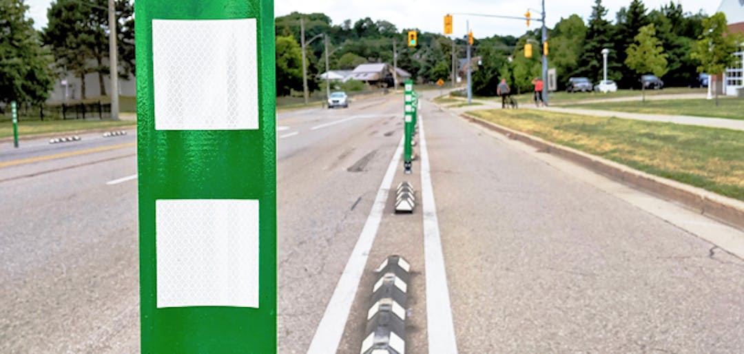
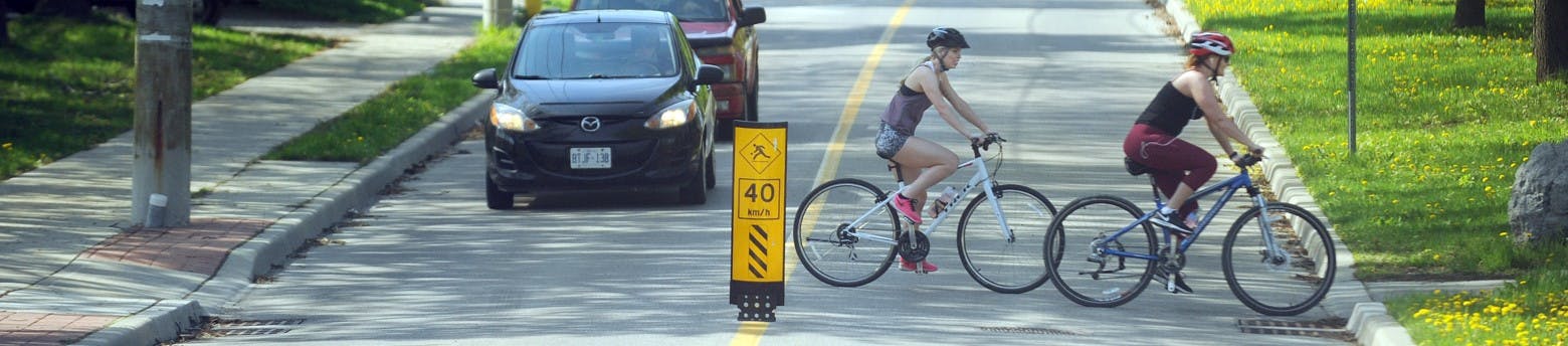
We’re working to better connect Kitchener through trails and cycling! Our Cycling and Trails Master Plan will lay the groundwork for a connected network of bikeways and trails.
We've asked more than 2,000 Kitchener residents what they want to see from the city's cycling and trails infrastructure. That feedback was used to develop a draft network.
Let us know if the draft network reflects your feedback by clicking the 'take survey' tab. Do you have specific feedback about a location or route that's important to you? Click the 'drop a pin' tab for an interactive view of our draft network and make a suggestion!
Proposed bikeway and trail network

- An important destination
- An important / favourite route
- An additional route we should consider
- A suggestion for a site-specific improvement
Site-specific improvements
This map indicates where site-specific improvements have been identified. If you have a suggestion for an improvement to a particular intersection or trail crossing, please drop a pin and let us know what you would recommend.
Citywide spine network
This is the proposed network of 'spines' that will connect Kitchener's cycling and trails infrastructure, better enabling cyclists and pedestrians to travel across the city using bikeways and trails.
Green routes indicate the spine network and grey lines indicate our existing infrastructure.
Important Destinations
Cycling and trails infrastructure must be designed with high-priority destinations in mind, which is why we've developed the Important Destinations activity.
This map has been populated with Kitchener's existing cycling infrastructure and trail networks, as well as our ION rapid transit routes. To give us your feedback, simply click an drag the plus icon (+) to drop a pin on a destination in Kitchener that you feel should be accessible through our cycling and trails networks. Add a short description to indicate the destination your pin represents. Add as many as you like!
Along with our survey, your feedback will inform the development of our Cycling and Trails Master Plan.
Signup Banner

Document Library

Who's listening
-

Phone 519-741-2600 ext 4032 Email Liz.Christensen@Kitchener.ca