
Hidden Valley Flood Risk Reduction Environmental Assessment

The intent of this project is to identify a preferred solution to reduce existing flood risks and support future development in the Hidden Valley community.
There will be opportunity to learn about and give feedback during the study process. We will host a public information centre that you can attend. You are also welcome to contact the consultant and/or project manager at any time.
We will include your comments on the following in the project file report:
- The criteria for evaluating the project and the preliminary alternatives
- The proposed flood mitigation alternatives, the final evaluation criteria, and the preferred solution
If you would like to receive updates about this project, please add your email to the Stay Informed box and click ‘Subscribe’.
Background
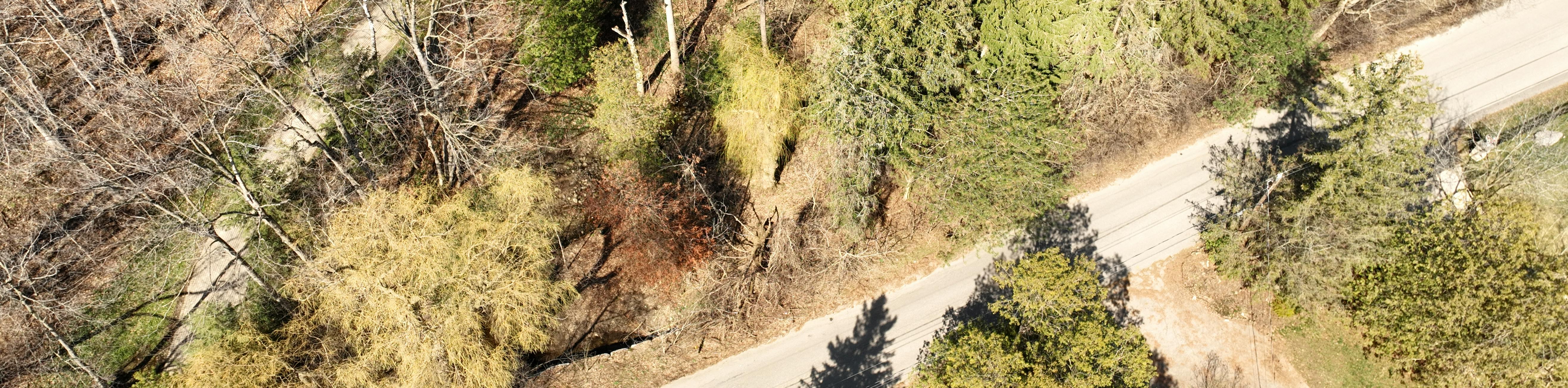
The Hidden Valley Creek subwatershed includes both woodland and wetland areas. It is an environmentally sensitive area, home to species at risk habitats and a warmwater fishery.
There are several flood vulnerable areas and erosion vulnerable area in the downstream portion of the Hidden Valley Creek subwatershed close to Hidden Valley Road. The area downstream has experienced past flood and erosion impacts. These are related to specific rainfall or runoff events and the release of natural debris (examples: beaver dams or natural debris jams).
This study is part of our secondary planning process. Future development in the area will follow both the current Hidden Valley Land Use Master Plan and our ongoing secondary planning process.
Ask a question
Do you have a question about this project? Ask it here.
To protect your privacy:
- Do not include your last name in your username
- Do not include any personal information (like your address) in your question
Before submitting your question, make sure it meets our etiquette and moderation policy. If it doesn’t, we will not be able to respond.
We usually respond within three business days. If your question is urgent, call the City of Kitchener at 519-741-2345 (TTY: 1-866-969-9994)

Who's Listening
-

Phone 519-741-2200 x7135 Email hiddenvalley@kitchener.ca -

Phone 226-314-1932 Email khofbauer@matrix-solutions.com